
Maps
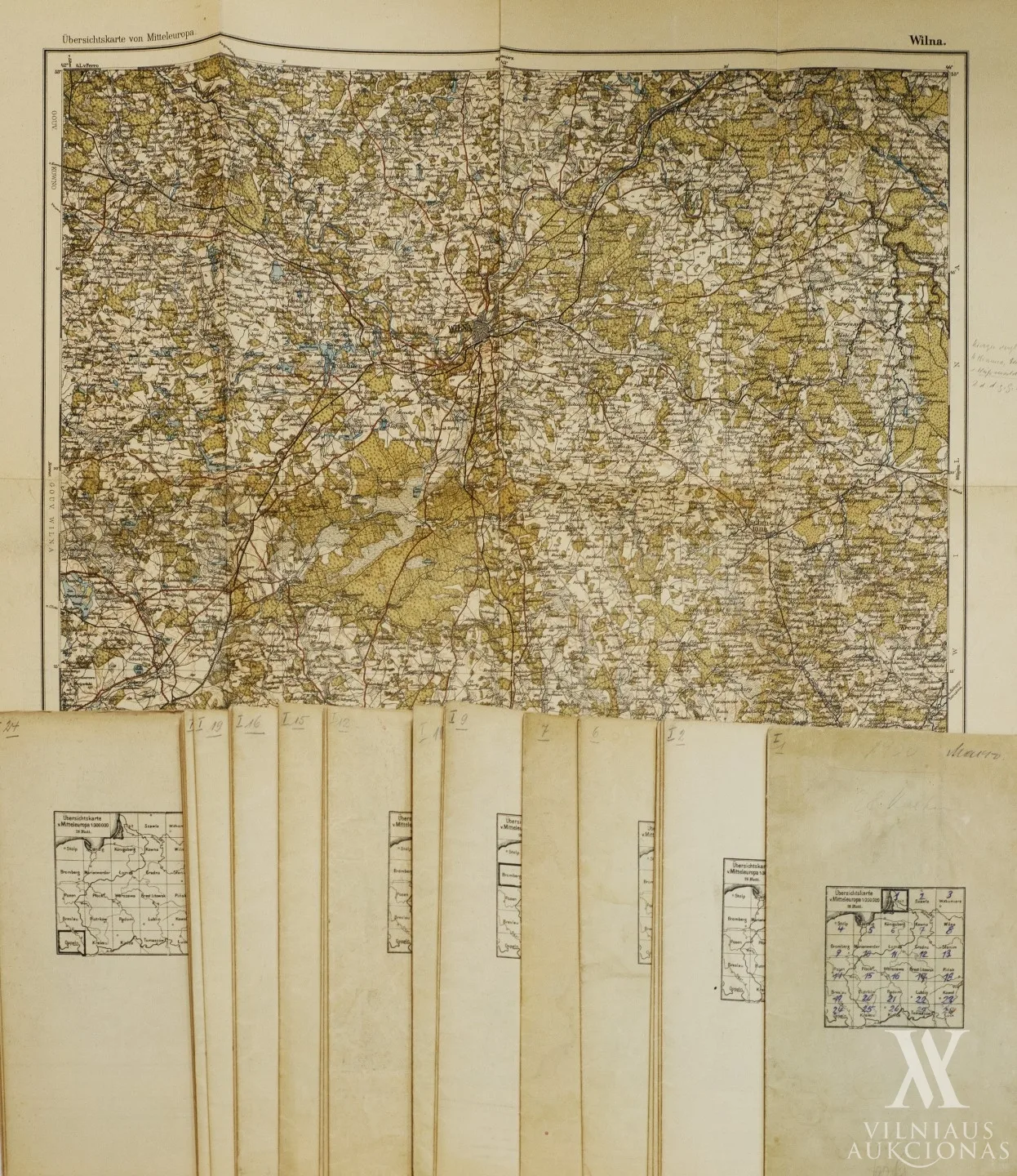
Übersichtskarte von Mitteleuropa | Centrinės Europos 28 makro žemėlapių rinkinys, 1900–1912
Not for sale
About the work
1900–1912, pop., poligraf., 45 x 53 (visi); sulankstyti: 22,7 x 13,5. Mastelis
1:300000. Leista Kartographischen Abteilung der Preußischen Landesaufnahme
(Berlynas). Apima Lietuvos teritoriją.
- Category
- Maps
- Year
- 1900–1912
- Technique
- poligrafija
- Materials
- paper
Any questions?
We are happy to tell you more about an artwork or help you place the order.