
Maps
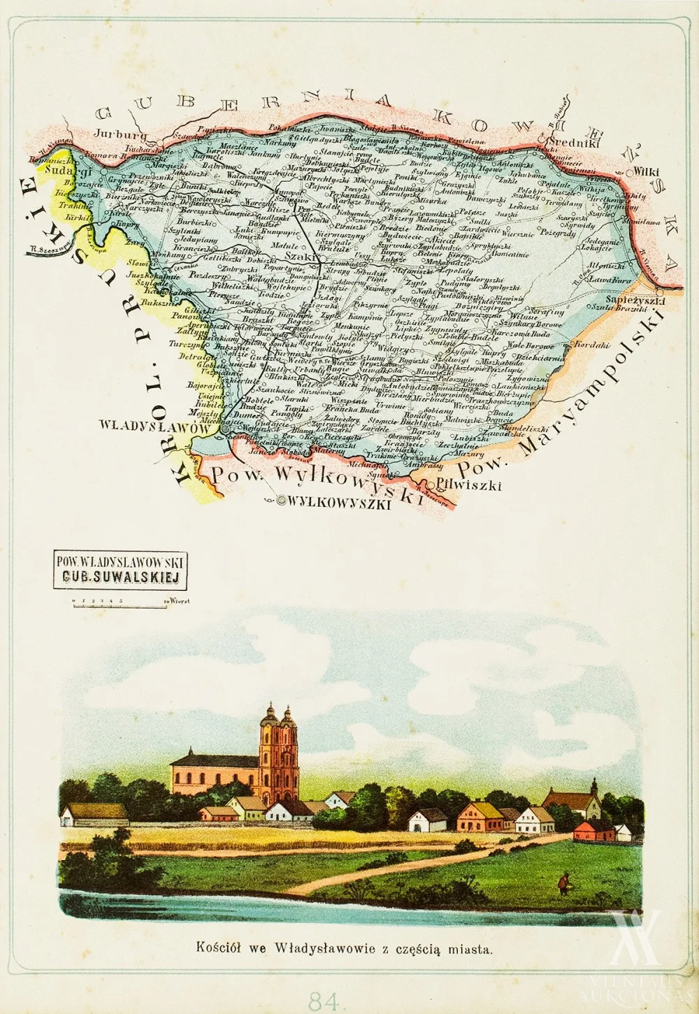
Kalvarijos pavieto žemėlapis
Artwork sold
About the work
1907, pop., chromolitograf., 26 x 18,4
Iš Józef Michał Bazewicz „Atlas geograficzny ilustrowany Królestwa Polskiego“ (Warszawa, B. A. Bukaty, 1907): 84.
- Category
- Maps
Any questions?
We are happy to tell you more about an artwork or help you place the order.