
Maps
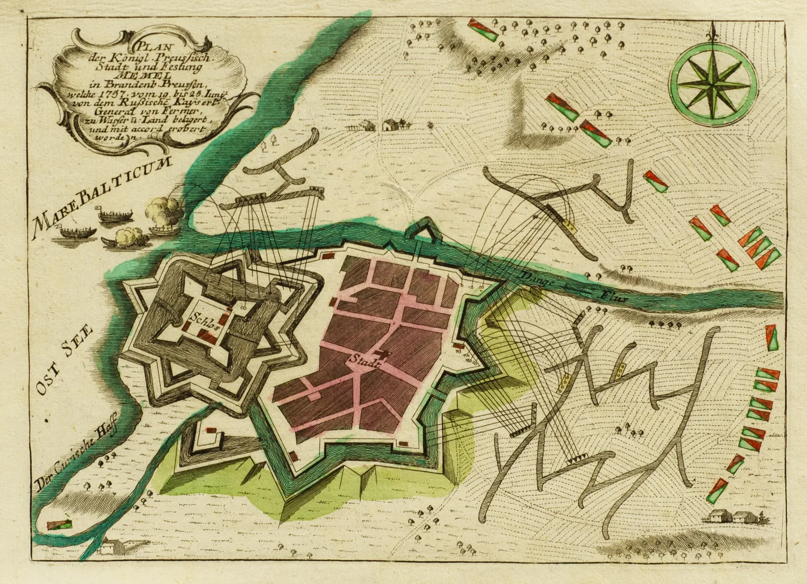
George Christophe KilianKlaipėdos pilies ir miesto planas, 1758
Artwork sold
About the work
Plan der Konigl. Preussen Stadt und Festung Memel in Brandenb. Preussen.
1758, pop., vario raiž., akv., 16,3 x 22 (lakštas 19,5 x 28,8). Leista Augsburge.
- Category
- Maps
- Year
- 1758
- Technique
- vario raižinys, akvarelė
- Materials
- paper
Any questions?
We are happy to tell you more about an artwork or help you place the order.