
Maps
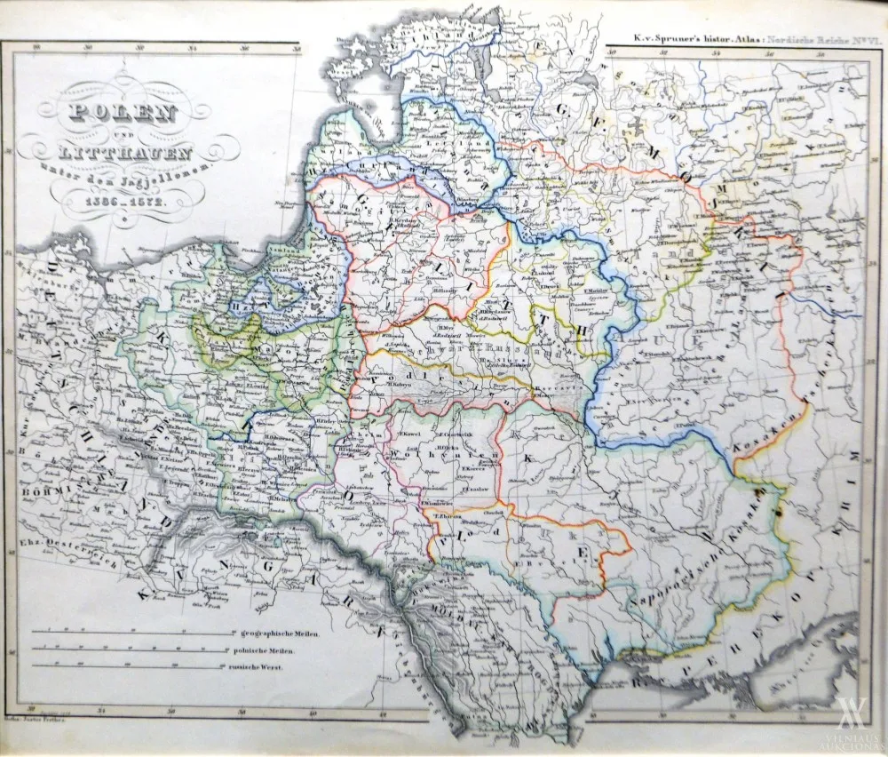
Karl von Spruner (sud.)Polen und Litthauen unter den Jagjellonen 1386–1572
Not for sale
About the work
Iš „Historisch–Gepgraphischer, Hand–Atlas zur Geschichte der Staaten Europa’s”
1855, pop., litograf., 33 x 38,5. Leista: Gotha: bei Justus Perthes
- Category
- Maps
Any questions?
We are happy to tell you more about an artwork or help you place the order.