
Maps
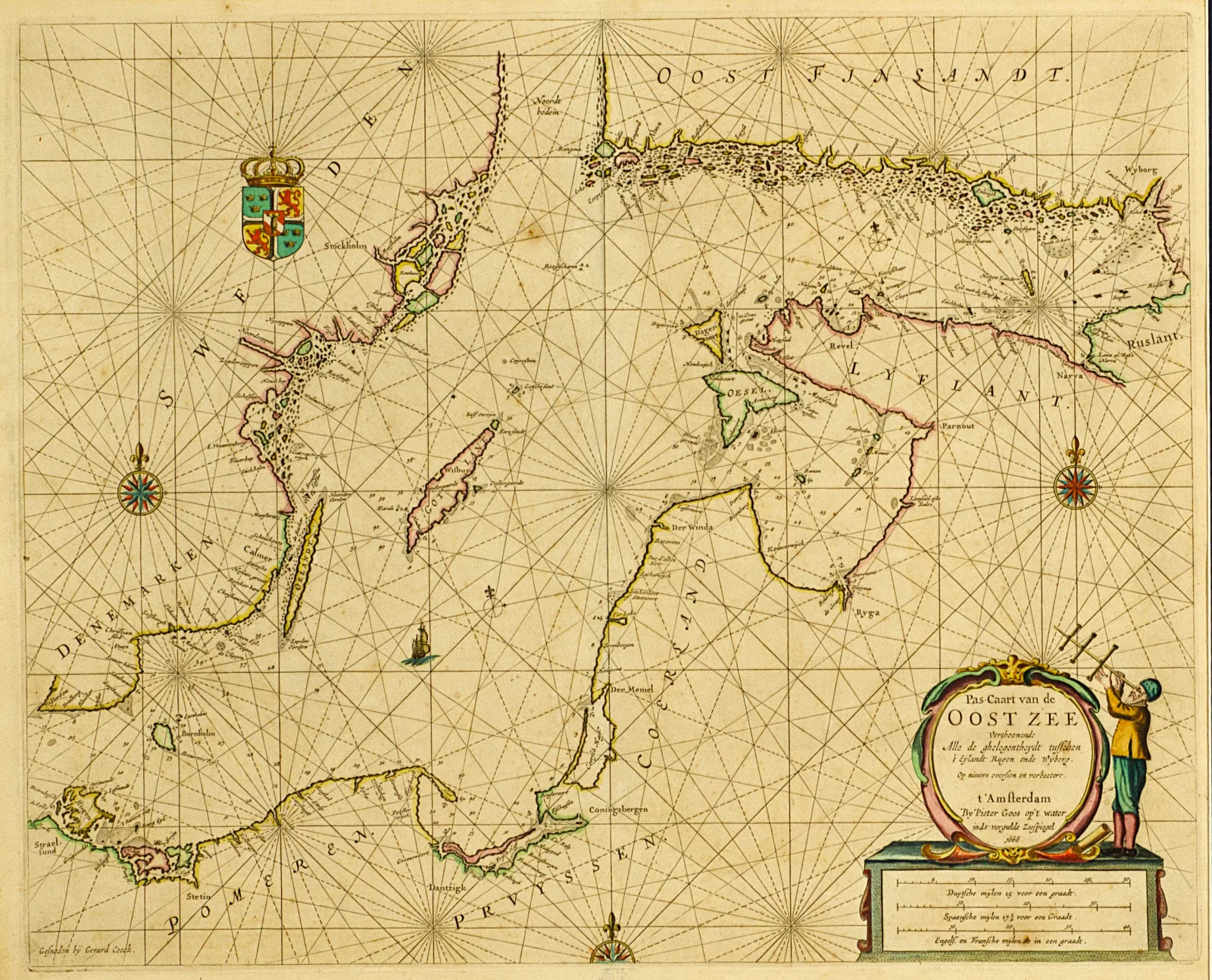
Pieter GoosBaltijos jūros pakrančių navigacinis žemėlapis, 1666
Not for sale
About the work
Baltijos jūros pakrančių navigacinis žemėlapis | Pas-Caart van de Oost zee verthoonende Alle de ghelegentheydt tusschen ‘t eÿlandt Rugen ende Wÿborg.
Iš Piterio Gooso jūrų atlaso De Zee-Atlas oste Waterwereld...
1666, pop., vario raiž., akv., 44,2 x 54,5, leista Amsterdame
- Category
- Maps
- Year
- 1666
- Technique
- akvarelė, vario raižinys
- Materials
- paper
Any questions?
We are happy to tell you more about an artwork or help you place the order.