
Maps
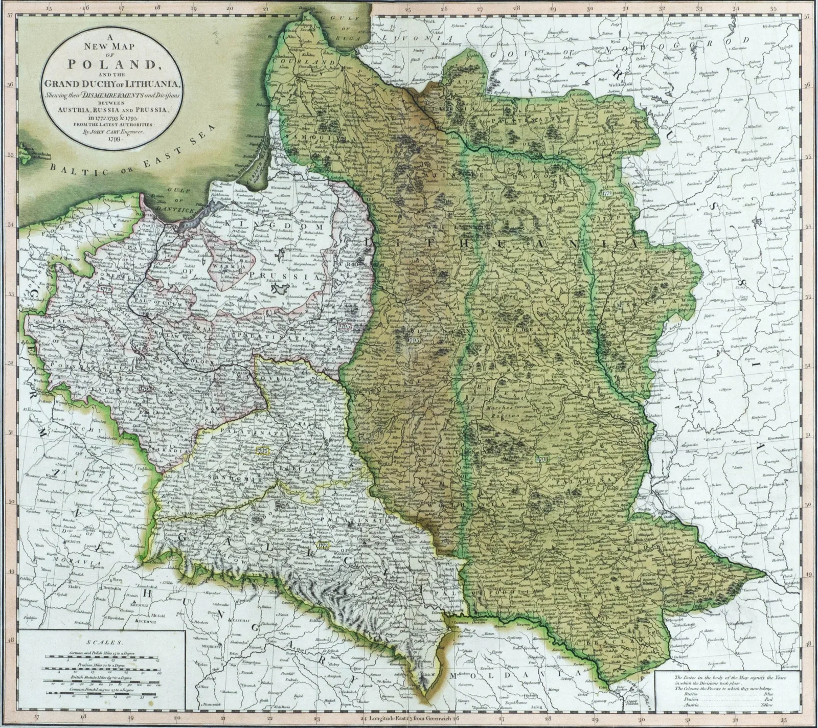
A New Map of Poland and the Grand Duchy of Lithuania, 1799
Not for sale
About the work
...showing their dismemberments and divisions between Austria, Russia and Prussia in 1772, 1773 and 1795.
1799, pop., vario raiž., akv., 48,5 x 54,5
Graveris John Cary, leista Londone.
Pavaizduotos visų trijų ATR padalijimų ribos.
- Category
- Maps
- Year
- 1799
- Technique
- vario raižinys, akvarelė
- Materials
- paper
Any questions?
We are happy to tell you more about an artwork or help you place the order.